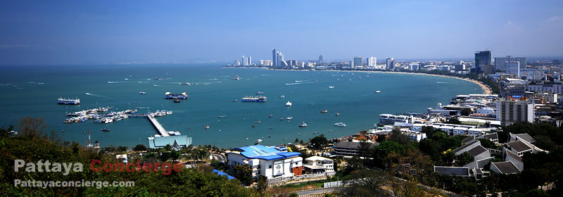
Map of Pattaya
Not Anymore Getting Lost in Pattaya City
| Although there will be various maps provided for you in Pattaya city or in your hotel, it will still be better to know which major places in the Pattaya map are before arriving in Pattaya. To memorize such major places will help you not get lost once you are in the city. In this page, the interactive map of pattaya is provided, whereas those who do not allow web browser to support javascript can see overall map of the city at Static Pattaya Map - the important places are showed in the following map of Pattaya city, and there is a description of each logo presented underneath the map, and at the end of this section the breif explanation of this map provided. Both maps are also presents majors streets in Pattaya, North Pattaya Road, Central Pattaya Road, South Pattaya Road, Pattaya Beach Road, Pattaya Second Road, and Pattaya Third Road. This would help you understand the city structure easily. | ||
Interactive Pattaya Map The following is the map of Pattaya city developed with google map technology. By default, there are main places displayed in the map, shopping centers in the city, Pattaya Hills, Pattaya Bus Terminal, Pattaya City Hall, and Pattaya Floating Market, and a few attractions in the city. There are also map for special areas for travelling in Pattaya areas as Pattaya Walking Street Map, which helps you see the location of many night clubs and shops in the street, and Map of Koh Larn Pattaya. For mpas of special areas, you can use drop down menu below. This map will gradually be improved over times in order to well support visitors to travel Pattaya more easily. Note that, at the moment, not all of attractions, restaurants, and hotels have not been presented in the map yet, so don't get frustrated if you can't find some place. We are going to add them soon though. | ||
| ||
| | ||


